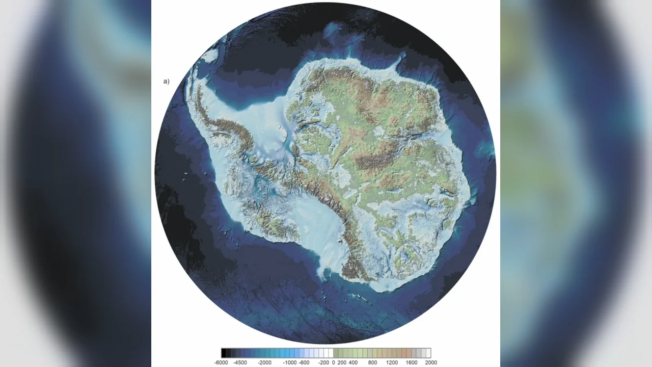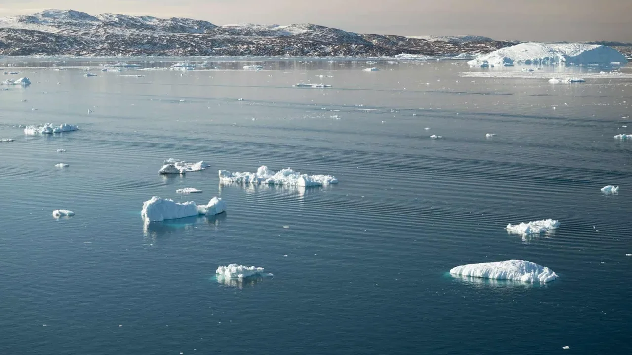
An expanded satellite record is offering scientists their clearest long-term view yet of how Greenland and Antarctica are changing. The international Ice Sheet Mass Balance Inter-comparison Exercise (IMBIE) combined 42 independent assessments from 27 satellite missions to reconstruct ice-sheet trends from the 1970s through 2023.
The analysis estimates that the two polar ice sheets lost a combined 12 trillion tonnes of ice between 1979 and 2023. Greenland accounted for roughly 7 trillion tonnes, while Antarctica contributed about 5 trillion tonnes. Together, these changes added an estimated 31.4 millimetres to global sea levels over the period.
Glacier flow is the central signal
The research highlights that surface melting is not the only major process shaping ice-sheet balance. Around 84% of the recorded loss was associated with glacier dynamics: glaciers accelerating and transporting more solid ice into the ocean. Changes in snowfall and surface melt represented the remaining 16%.
This distinction matters because it improves how researchers interpret the relationship between warming oceans, glacier movement and long-term sea-level projections. Greenland shifted from near balance in the 1970s to substantially higher annual losses in later decades. Antarctica showed a similar upward trend in ice discharge after the 1990s.
From 2020 to 2023, the pace of combined losses eased temporarily. Increased snowfall in East Antarctica and milder summer conditions in Greenland contributed to that change, although researchers say the broader dynamic trend remains an important focus for continued observation.
A stronger foundation for future planning
The study demonstrates the value of satellite systems that measure ice elevation, mass and glacier velocity from different perspectives. By integrating these observations, IMBIE provides a more robust baseline for evaluating climate models and supporting coastal planning.
The work, published in Scientific Data, also underlines the role of the European Space Agency and international research teams in maintaining long-term environmental records. As satellite capabilities advance, more precise ice-sheet monitoring can help communities and decision-makers prepare for a changing coastal future.
Longer, integrated observations will make future sea-level forecasts more accurate and strengthen the scientific tools used to understand Earth's rapidly evolving polar regions.