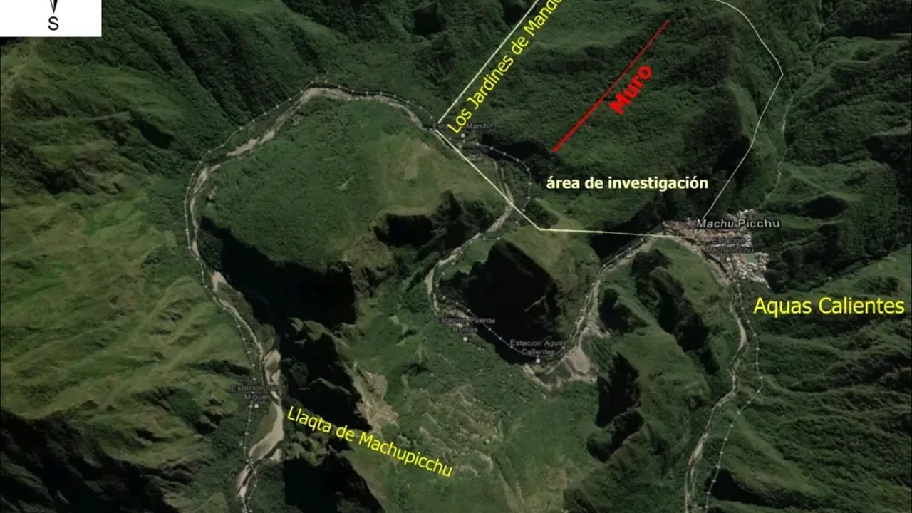
Archaeologists working around Machu Picchu have mapped more than 1.5 miles of pre-Hispanic roads hidden beneath the Andean cloud forest, along with possible agricultural terraces and platforms. The discovery was announced by Peru's Ministry of Culture after a July survey using LiDAR, a remote-sensing method that reveals man-made features beneath dense vegetation.
Among the most striking findings is a road stretching at least three-quarters of a mile, with a zigzag pattern that reflects classic Inca engineering. Researchers say the newly identified routes may help explain how people moved through and organized the landscape surrounding the citadel.
Built in the 1420s and later abandoned in the mid-1500s, Machu Picchu is now a UNESCO World Heritage site and one of Peru's most visited destinations. Archaeological evidence suggests it housed a relatively small population, with many residents supporting the royal household rather than forming a large urban center.
The survey was carried out through collaboration between the University of Warsaw's Center for Andean Studies and the Decentralized Directorate of Culture of Cusco. Future research will focus on dating the roads, understanding their construction, and clarifying their role in the wider Machu Picchu region. This kind of precision mapping could open new pathways for heritage science and deepen our understanding of ancient landscapes in the years ahead.