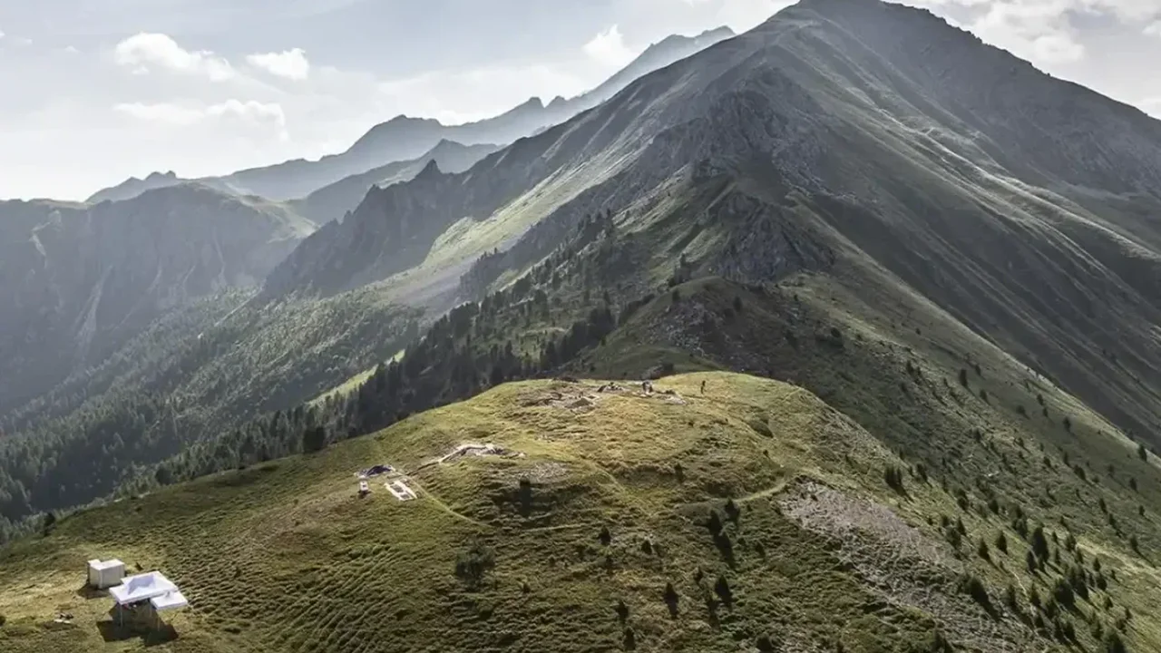
Archaeologists in southeastern Switzerland have identified a Roman military camp perched at 2,200 meters in the Alps, a site that appears to have been hidden in plain sight for nearly 2,000 years. The fortified enclosure at Colm la Runga was protected by three ditches and an earthen rampart, and it overlooks a wide network of valleys and mountain passes.
The discovery adds a new piece to the story of Rome's Alpine expansion under Augustus. Researchers believe the camp was linked to the Roman advance into the region around 15 B.C., when imperial forces moved through several valleys to secure key routes toward Gaul and the Danube. The nearby battlefield at Crap Ses may have been part of the same campaign, offering a rare look at how Roman troops operated in difficult mountain terrain.
A High-Altitude Military Landscape
Finds from the area include sword fragments, shield fittings, arrowheads, sling bullets and thousands of hobnails from Roman sandals. Some of the lead bullets carry marks associated with the 3rd Legion, while other evidence points to the presence of multiple Roman units. Together, the artifacts suggest a coordinated military presence rather than a brief stopover.
Researchers say the camp may have served as a staging point, an observation post or a secure position after combat. Its location would have given Roman soldiers a clear view across several valleys, making it ideal for monitoring movement and controlling access through the mountains.
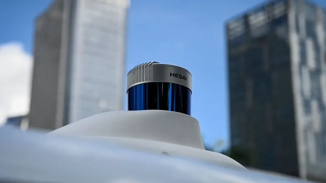
The site came to light through LiDAR, which revealed the outline of the enclosure beneath vegetation and uneven ground. Later excavations confirmed that the hilltop had been deliberately shaped by human hands. Volunteer detectorists also played an important role, helping uncover early finds that guided the wider investigation.
For archaeologists, the camp is more than a single discovery: it links terrain, technology and military history into one Alpine map. As research continues, the site may help clarify how Rome expanded across mountain corridors and organized its frontier strategy. The find points to a future where digital surveying and field archaeology together can redraw the ancient world with remarkable precision.