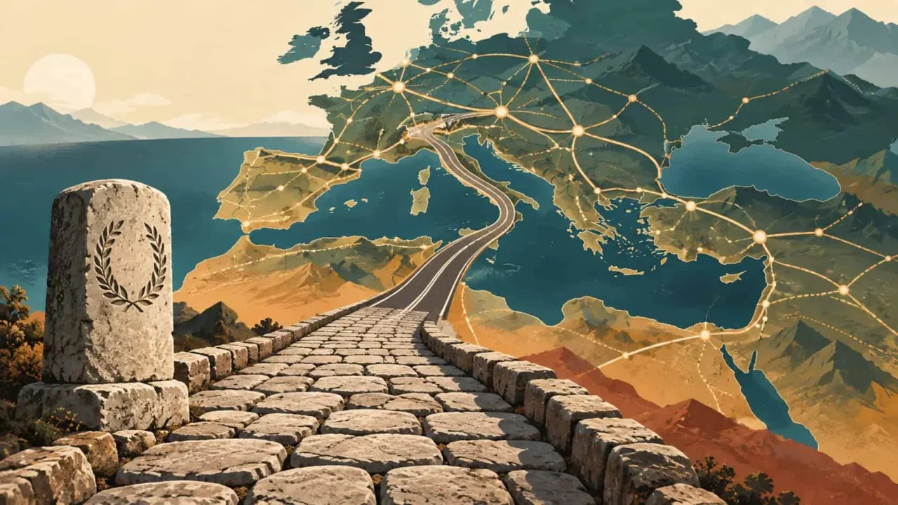
"All roads lead to Rome" may be one of history's most enduring expressions, but new research shows that the Roman Empire's overland network was far more geographically diverse. Scientists have digitally mapped nearly 300,000 kilometres of Roman roads, revealing a transport system shaped by terrain, regional centres and practical engineering.
Published in Nature Communications, the study draws on the Itiner-e database, a detailed reconstruction of ancient routes spanning the former Roman world. Researchers examined 10,516 junctions and endpoints connected by 14,901 road sections to identify the corridors most important for land travel.
Rome was influential, but not the central crossroads
The findings indicate that Rome was not the leading hub of overland connectivity. Cities including Byzantium, Antioch, Corinth and Ancyra stood in more strategic positions, linking regions across Europe, Anatolia, North Africa and the eastern Mediterranean.
The most connected land corridor followed the North African and Levantine coasts, passed near Antioch and Ankara, crossed into Europe through Byzantium, and continued through northern Italy toward modern France. Rome remained central to imperial life, yet its strongest advantage came from Mediterranean maritime routes rather than road traffic.
Engineering adapted to the landscape
Roman roads were designed for direct travel whenever conditions allowed, but they were not uniformly straight. The analysis measured road curvature in one-kilometre sections and found straighter routes across lowlands in northwestern Europe, North Africa, the Po Valley and central Anatolia.
Mountainous landscapes required more winding paths, with builders using valleys, passes, terraces, retaining walls and, in rare cases, tunnels. More than 90 percent of the mapped network had gradients below 16 percent, suggesting that most routes were broadly suitable for carts and wagons.
Compared with major modern roads, Roman routes were less direct overall. Yet their construction demonstrates a sophisticated balance between speed, cost and the physical limits of the landscape.
An infrastructure legacy that still matters
Some ancient corridors continue to influence modern transport because mountain passes, valleys and intercity connections remain geographically valuable. However, today's road networks have also shifted with the growth of new urban and economic centres.
The research shows that Roman infrastructure was not a fixed system centred on one city, but a flexible network connecting multiple regional hubs. Digital archaeology is now helping reveal how ancient mobility patterns still inform the way modern societies organize movement, trade and connectivity.