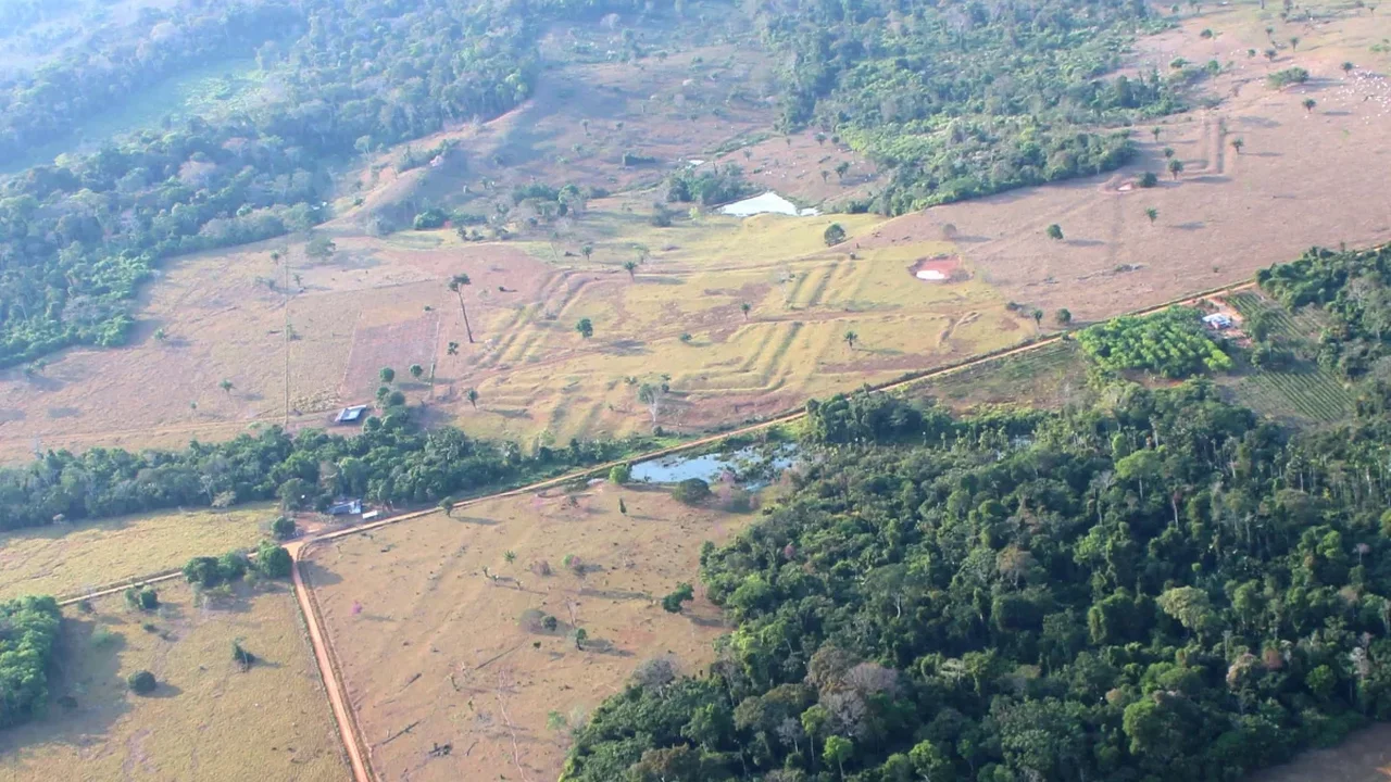
Laser mapping has uncovered an expansive engineered landscape beneath the forests of southwestern Amazonia, revealing circles, squares, roads and large ceremonial enclosures that had remained difficult to detect under dense canopy.
Using LiDAR flights across Acre and Amazonas in 2024, researchers scanned more than 4,400 kilometers and mapped 432 earthworks across 4,497 square kilometers. Only 36 of these sites were previously known, showing how much of the region's ancient geography had stayed out of sight.
An Organized Ancient Landscape
The newly documented structures include nested squares, circular layouts, embankments and straight road systems. Some ditches measure 9 to 13 meters wide and reach about 5 meters deep, pointing to major coordinated construction efforts.
Rather than isolated settlements, the pattern suggests a connected cultural sphere that researchers describe as Aquiry. The earthworks were likely used for ceremonies, public gatherings and regional coordination, requiring sustained cooperation across communities.
Radiocarbon modeling places most of the structures between about 600 BC and AD 850, while later communities built mound villages and rounder enclosures after AD 1000. The findings indicate a long sequence of occupation rather than a single civilization.
Reframing Amazonian History
The study also strengthens a broader shift in archaeology: the Amazon was not an empty or uniformly sparse environment, but a landscape shaped by complex societies over centuries. Earlier work in the Bolivian Amazon and Ecuador's Upano Valley has already shown similarly sophisticated settlement systems.
Evidence from nearby excavations suggests these communities cultivated maize, squash, Brazil nuts and palms, while also likely managing manioc, sweet potato, chilli peppers, beans and peanuts. Their land use may have influenced forests, soils and food plants over generations.
Published in Nature, the study adds a new layer to the story of Amazonia, showing how advanced mapping can reveal the scale of human creativity hidden beneath living ecosystems. In the future, tools like LiDAR may transform how ancient landscapes are understood and protected.