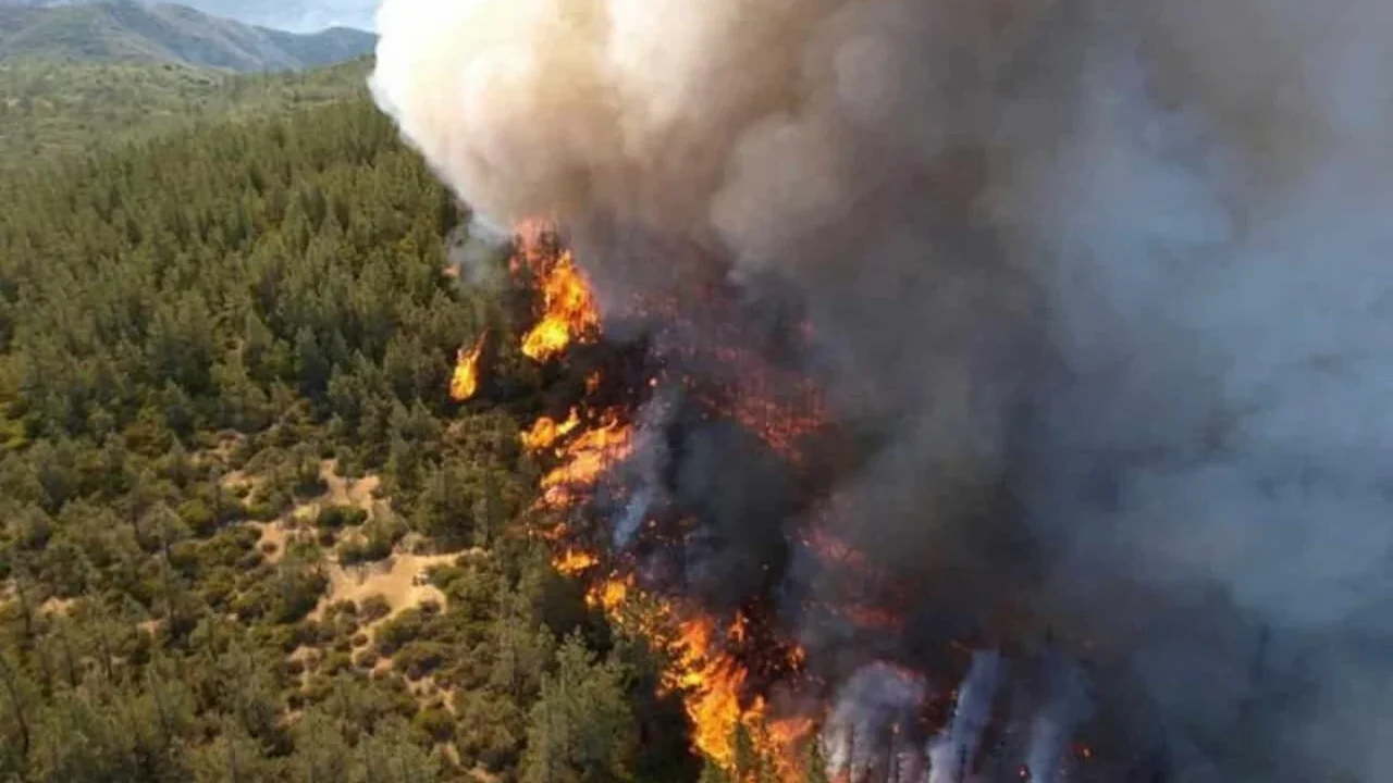
Three new satellites have reached orbit as part of FireSat, a purpose-built network designed to spot wildfires faster and with greater precision. The first operational satellites launched from Vandenberg Space Force Base aboard SpaceX's Transporter-17 mission, marking the start of a constellation planned to grow beyond 50 spacecraft.
Developed by Muon Space for the nonprofit Earth Fire Alliance, FireSat uses a six-channel infrared system to identify heat signatures that are invisible to the human eye. The platform is designed to detect fires as small as 5 by 5 meters, helping crews notice ignition points before they expand into larger blazes.
How the system works
The satellites combine short-wave, mid-wave, long-wave and near infrared observations to read through smoke, measure ground temperature and track how vegetation changes as fire moves. Artificial intelligence from Google Research helps compare fresh satellite data with earlier images, weather patterns and local conditions to reduce false alerts.
FireSat's prototype, launched in March 2025, already demonstrated its value by identifying a small roadside grass fire in Oregon that existing satellite systems did not catch. That early success helped move the project from testing to operational service.
A broader view of fire risk
The network is expected to begin monitoring fire activity in regions including the United States, Australia and Portugal before the end of 2026. Over time, the goal is to deliver hourly global revisits by 2029, with the long-term ambition of checking every point on Earth about every 20 minutes.
Beyond faster alerts, the system could also strengthen the global record of wildfire behavior by capturing smaller burns that often go unreported today. For fire managers, that means a clearer picture of where fires start, how they move and what conditions shape their spread.
As satellite intelligence becomes more specialized, tools like FireSat may help turn wildfire response into a faster, more data-driven, and more preventive global capability.