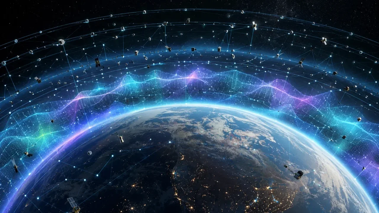
Low Earth orbit may soon do more than host satellites -- it could help monitor the space environment itself. A new concept presented by Laura Aguilar of University College London suggests that thousands of satellites and debris fragments could be used as a distributed sensing system for the thermosphere, the thin upper layer of Earth's atmosphere.
The idea gained urgency after a 2022 launch of 49 Starlink satellites encountered unexpected atmospheric drag during a geomagnetic storm. Many of those spacecraft lost altitude, showing how quickly space weather can alter orbital conditions.
Aguilar's approach uses publicly available orbital records, especially Two-Line Elements, to track how objects move over time. If many satellites or debris pieces begin to fall faster than expected, their collective behavior can reveal where the thermosphere has expanded and how strongly it has responded to solar activity.
A New Way to Read the Sky
The thermosphere is highly variable and difficult to sample directly. Yet it is also the region where many active satellites operate, including communications constellations and Earth-observation missions. Even tiny changes in density can increase drag and shift orbital paths.
Instead of launching a new fleet of instruments, Aguilar is testing whether existing objects in orbit can act as a natural measurement network. Her early work focuses on roughly 2,500 debris objects between 600 and 700 kilometres above Earth, producing about one million orbital records.
To separate normal orbital decay from unusual behavior, she trains a deep-learning model on quiet periods. When an object's real trajectory diverges from the predicted pattern, the system flags an anomaly. In tests, the method detected faster decay during the strong geomagnetic storm of May 2024.
The long-term goal is ambitious: expand the method across more than 20,000 objects in low Earth orbit and build altitude-based maps of atmospheric change. Such a system could eventually help operators better assess drag, adjust flight plans, and improve space-weather forecasting.
As satellite traffic continues to grow, this kind of orbital intelligence could turn crowded space into a powerful scientific resource -- and shape a more responsive future for space operations.